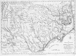
According to this article, the boundary line of your state may have changed since you last looked at a map. I find it almost humorous that modern technology is making the decision for the states ... historians would tell us that people used to set boundaries, walking days and days though rough country that was literally uncharted until the surveying team marked off states. One of my favorite North Carolina authors, Inglis Fletcher, described the process of surveying the border between N.C. and Virgina in one of her many books in the Carolina series: officials from both states would walk together, side by side, and determine where a boundary should be.


No comments:
Post a Comment